Project Info
Project Description
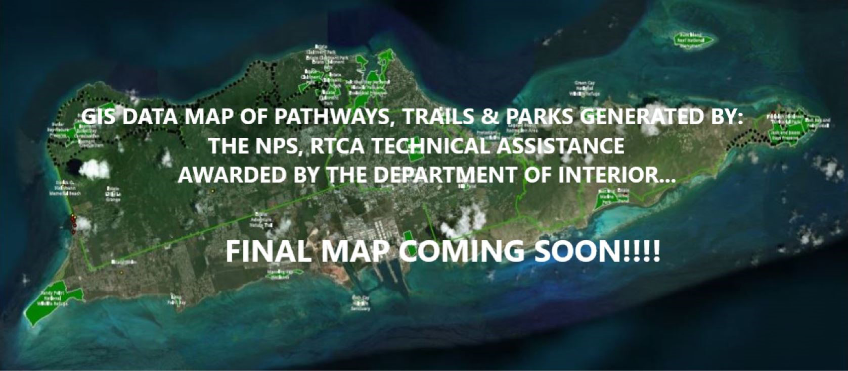
In October 2017, just after the devastation resulting from the hurricanes VITAL and community were awarded technical assistance from the NPS, RTCA (River, Trails and Conservation Program) from the Dept. of the Interior at no cost to the Territory.
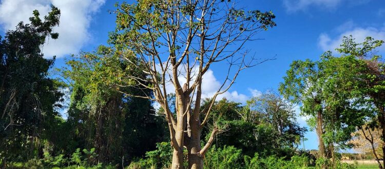
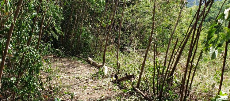
This technical assistance team is actively creating a GIS Data Map, including hardened surface pathways, primitive trails (utilizing Strava mapping apps), parks (NPS and Sports, Parks and Recreation Sites), conservation lands held for public use for trails and recreation as well as contracted lands such as the Windsor Properties owned by the Dept. of Agriculture. Schools and historical places are also included.
Soon this Map will be completed and made available for public use. VITAL can create updates and enhance the final map to reflect changes and new opportunities.
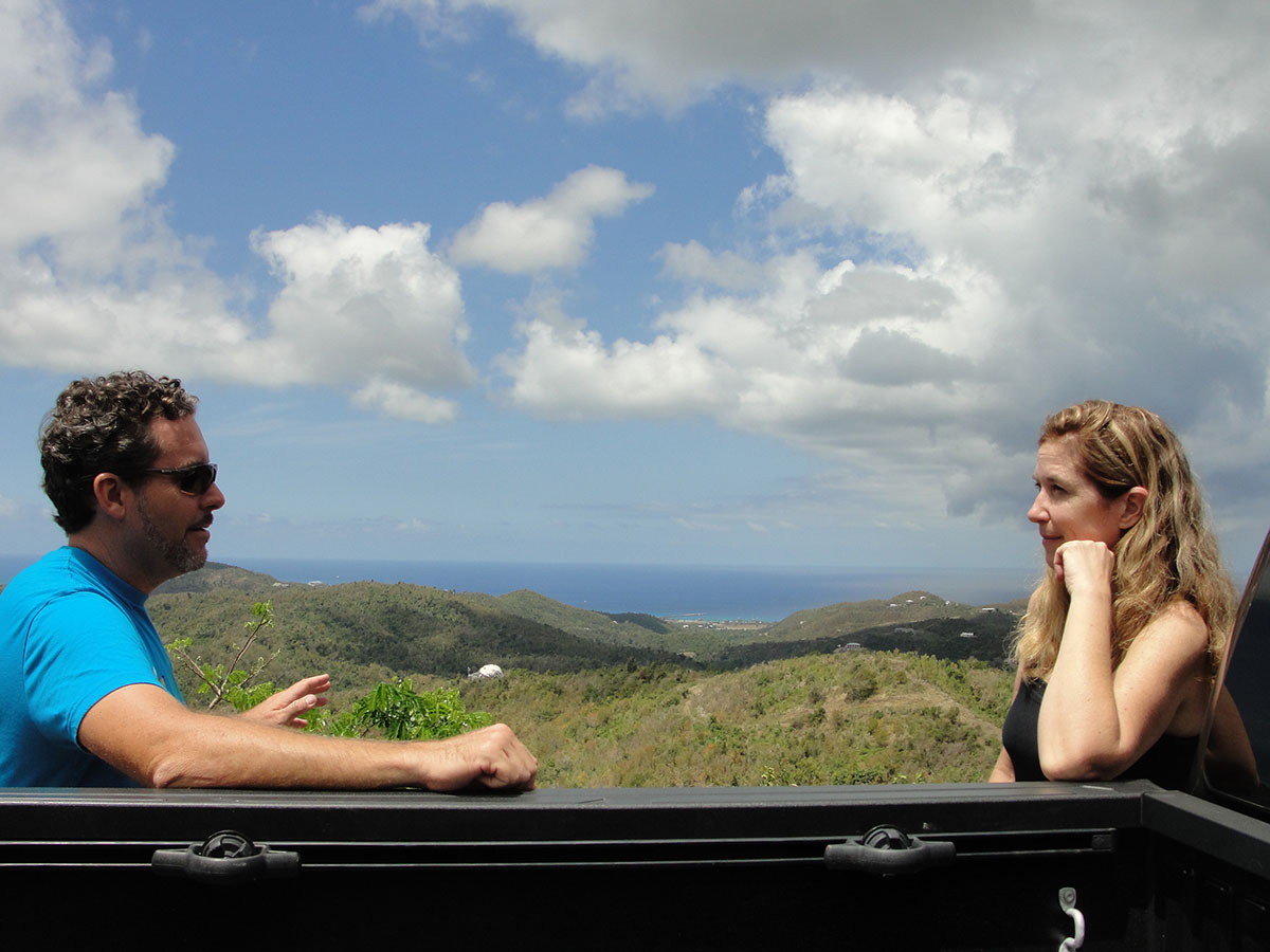
Project Director – Jaime Doubek- Recine – Island Visit – April 2019
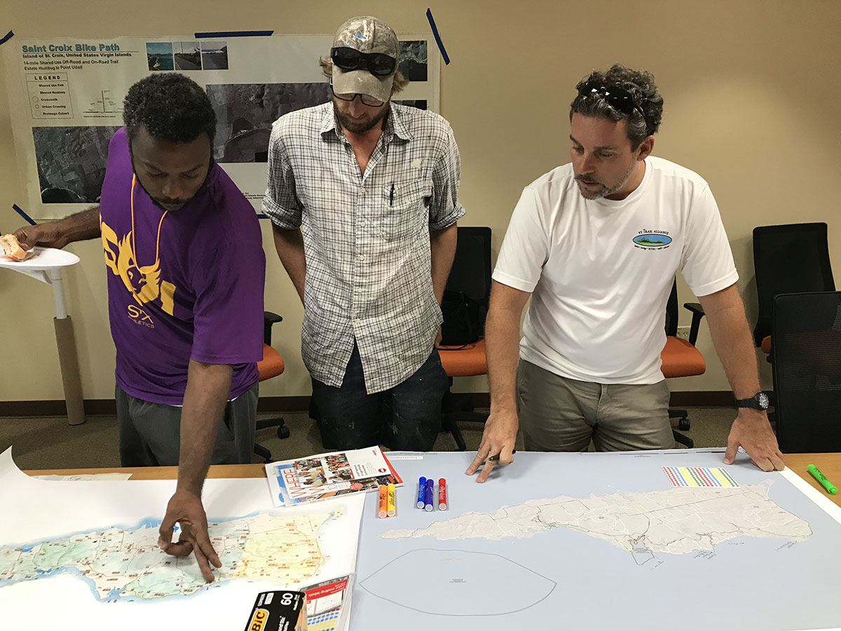
The DOI Technical Assistance Grant Award was received after the Hurricanes of 2017. Jaime worked with VITAL to develop a concept plan and to create a Map depicting the concept location and workable segments for both hardened surface pathways, sidewalks but also for dirt trails. Jaime traveled to St. Croix to meet with local government and organizational leaders in April 2019. Jaime continues to work with VITAL but with the recent Covid Travel restraints and work from home guidelines progress has been minimized but remains in active. Through this collaborative work VITAL has written successful grants, created a GIS Map of St. Croix Concept Plans, and have strengthen support with local and federal partners.